Portfolio
Examples of aerial photo and video used across commercial, real estate, and operational projects.
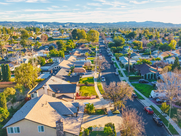
Aerial Photo & Video Services
4K Visual Capture
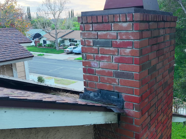
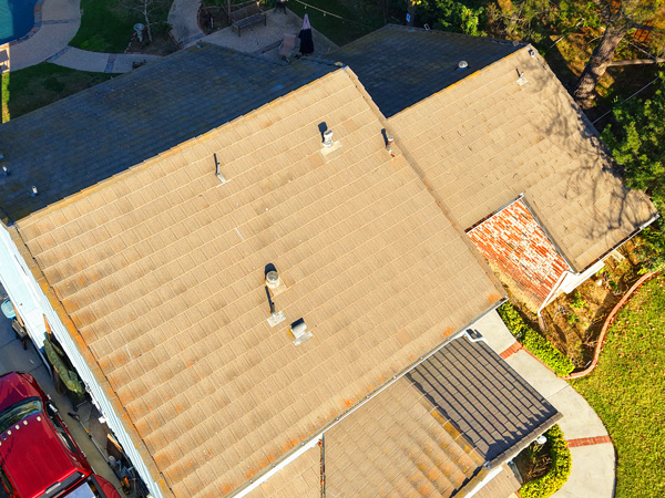
Aerial Roof Inspection & Documentation
Visual Roof & Exterior Assessments
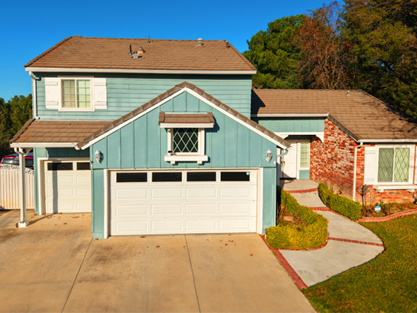
Real Estate Listing Photography
Listing-Ready Aerial Visuals

Property Management Documentation
Ongoing Property & Site Documentation
Construction & Site Documentation
Progress Tracking & Site Overviews

Small Business & Commercial Promotion
Aerial Content for Digital Marketing

